


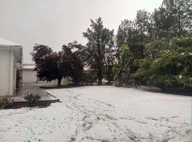
More rain and even snow has been predicted for the next few days in the Western Cape. Amid the water crisis, every little drop counts, and Capetonians are rejoicing at the prospect of showers of blessings. A 60% chance of rain has been forecast for the city today, 80% for tomorrow and 50% for Wednesday. Last week, several high-lying areas in the Western Cape recorded snowfall and the snowcapped Drakensberg Mountain range was a sight to behold.
On Saturday Snow Report SA said: “We have been watching this system for a few days now, and hinted that it might impact the Western Cape from Tuesday next week (21st), and we still think that it will! It looks like this frontal system will bring much needed rain to the Western Cape from the early hours of Tuesday morning, with snow possible over the high ground around Ceres almost immediately, extending northwards through the Cederberg as Tuesday progresses.
By Tuesday evening, light falls are likely to continue over the Hexriver Mountains, the Cederberg, and could extend further east over the Groot Swartberge, and possibly even over the Outeniquas. We are not expecting a large amount of snow to fall, and at this stage. It looks like 4 to 5cm over most of the high peaks, but accompanied with some rain, it will bring much needed moisture to the area. As always, weather systems can change, especially at this time of year. We will put out another forecast on Monday with a bit more details.
The attached map shows the areas that we currently think will be affected by snow falls.”
