


The South African Weather Services has warned that a cold front is approaching Cape Town, and has advised the City of Cape Town’s Disaster Risk Management Centre of the following:
– Heavy rain is expected to lead to localised flooding in areas of the Cape Metropole, as well as western parts of the Cape Winelands and Western Parts of the Overberg District on Monday afternoon. This is expected to continue well into Tuesday morning.
– A well-developed cold front is expected to make landfall during the course of the day on Monday.
– The system is expected to bring between 20 – 30mm of rain to the Cape Metropole, southern Cape Winelands and western Overberg. Up to 50mm of water can be expected over mountainous areas throughout Monday into Tuesday morning.
– Temperatures are expected to plummet to a low of 11°C and a high of 16°C on Monday, before dropping further to a minimum of 9°C on Tuesday morning.
– Heavy downpours can be expected during the late morning of Monday, and will continue into the afternoon. This may result in localised flooding in both formal and informal settlements, particularly in areas where urban drainage is poor. This may have an adverse affect on traffic, causing congestion, and difficult driving conditions.
– Heavy downpours may also lead to flash flooding, and therefore low water bridges must be avoided.
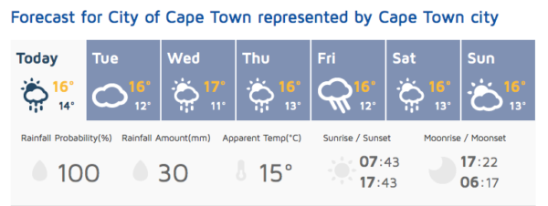
– More rain has also been forecast for Thursday, Friday, Saturday and Sunday in Cape Town.
African Weather Service has noted the amount of rain that fell last week in the Western Cape:
Langebaan – 34mm
Paarl – 33mm
Tsitsikamma – 26mm
Cape Town CBD – 20mm
Malmesbury – 19mm
Porterville – 16mm
Robertson – 10mm
Plett – 11mm
PE & Patensie – 7mm
Picture: Unsplash
