


OpenStreetMap (OSM) is a global collaborative mapping project that aims to create a free, editable map of the world. In Cape Town, a local branch is changing the way we use our streets.
Encouraging residents to participate in mapping the city, Open Streets Cape Town is a community-driven initiative focused on improving the accuracy and completeness of the OSM map of Cape Town.
Open Streets Cape Town was founded in 2013 by people who were passionate about using open-source technology to improve access to information in the community. The organisation is run by a group of volunteers.
One of the key initiatives of Open Streets Cape Town is mapping informal settlements, which have often been excluded from official maps in the past.
By mapping these areas, Open Streets Cape Town helps provide more accurate and comprehensive information about the City, which can be used to improve access to basic services such as water, sanitation and healthcare.
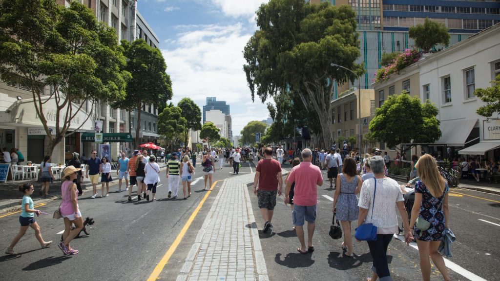
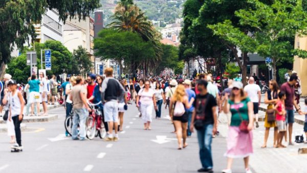
In addition, the organisation is also focused on promoting pedestrian and bicycle routes in the City. By mapping safe and accessible walking and cycling routes, the aim is to encourage more people to use these modes of transportation, which can improve air quality and reduce traffic congestion.
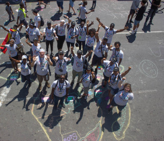
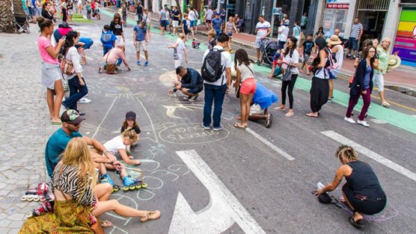
Open Streets Cape Town also organises events and workshops to engage with the community and promote the use of OSM. It has previously organised marathons, where volunteers come together to map specific areas of the City, as well as training sessions for those who are interested in learning more about OSM and how to contribute to the map.
This dynamic organisation is making a significant contribution to the OSM project, and is working in wonderful ways to change the way we use our streets. Check the website to see what events are coming up.
Also read:
Visit Cape Town’s newest street art on a Culture Connect SA tour
Picture: Open Streets Cape Town
