


Join a self-guided walk through Cape Town’s history, from the lives of the earliest Goringhaicona people to the bustling commercial city it is today. This is a new route that traces the city’s original shoreline from the Castle of Good Hope, through the Cape Town CBD, to the V&A Waterfront.
The tour retraces the original shoreline, from the first making of the land to the present day – and beyond it, into the lessons changes to sea level hold for our future.
The route comes alive through a VoiceMap, which directs you and tells some of the stories unearthed. Your journey through history starts at the Castle of Good Hope and the route passes distinct landmarks where historical events happened and historical figures made their mark. Landmarks include:
-Castle of Good Hope
-Cape Town City Hall
-Sky Bridge
-Cape Town Station
-Freeway Bridge
-Battery Park
-Zeitz MOCAA
-Chavonnes Battery
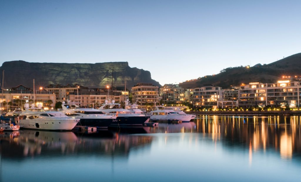
-V&A Waterfront
The Original Shoreline route is a new public space and storytelling project initiated by the Cape Town Heritage Trust.
This tour starts at the entrance to the Castle of Good Hope, close to the City Sightseeing drop off on Castle Street. If you’re in front of the moat, looking at stone lions on top of two yellow pillars, you’re in the right place.
Opening times: All-day
Cost: Download the Voice Map (R51,01)
Duration: 120 minutes
Distance: 4.5km
Difficulty: Mostly flat. Wear comfortable walking shoes, wear a hat, and stay hydrated. The walk takes you through the Cape Town CBD, so keep your valuables safe at all times.
Download the route map:Shoreline-Cape-Town-City-Centre-map FA LR[13]
Pictures: Supplied
