


Residents of the Western Cape have been subject to dreary skies and low temperatures over the past few days. Temperatures have dropped so low that snow is expected to fall in some parts of the Western Cape.
A severe weather warning was issued for the Cape. According to the SA Weather Service (SAWS), the Cape Winelands, Central Karoo and the Garden Route regions are expected to receive “disruptive snow” on Tuesday, August 18.
Heavy rains and localised flooding have also been predicted for the coastal regions of the Western Cape, including Cape Town and the Garden Route.
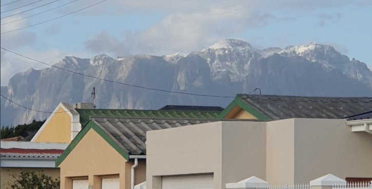
Snow was spotted in various parts of the province, including Franschhoek and the Hottentots Holland region.
Snow on the #HottentotsHolland mountains in the Western Cape. ? Corné du Preez @corne06946803 @ReenvalSA pic.twitter.com/4qhH0HFJ1C
— Weather?️by AfriWX (@afriwx) August 16, 2020
Light #snow fell on the mountain range surrounding #Villiersdorp Western Cape ? Werner Barnard #itsfreezingcold @SAWeatherServic @afriwx @AnnetteBotha_WX @debeer_anika @JoelGuy_ @BOSBEER2006 @AgriWesKaap @TeamNews24 @maroelamedia @Die_Burger @sabcnuus @zarsg @TheSAnews pic.twitter.com/xdj60cr5xK
— Weernuus & Reënval in die RSA (WRR) (@ReenvalIn) August 16, 2020
Great view in#Francehoek #westerncape ???
Of God’s wonderful creation.
.
.
.
.
.#photography #capetown #snow #hike #NaturePhotography #nature #Cool pic.twitter.com/OxldbVdfBL— Ray Graser (@GraserRay) July 27, 2020
The Matroosberg Nature Reserve has reported that they expect snow to fall between Monday, August 17 and Tuesday, August 18. Temperatures at the Reserve are expected to drop to as low as -4°C over the course of the next 24 hours.
“We are looking forward to have you as our guests during this snow season,” the Reserve said via Facebook.
The area was covered in snow recently. Take a look below:
Snow on Matroosberg this morning 16:8/2020
Posted by Matroosberg Reserve on Saturday, August 15, 2020
Photos from the peak.
No ground level snow.
4×4 only4×4 trail close at 11am!
Posted by Matroosberg Reserve on Saturday, August 15, 2020
Snow packing up in the mountain in perpetration if your visit tomorrow☃️
Posted by Matroosberg Reserve on Saturday, August 15, 2020
A video has also been widely circulated showing what appears to be snow on Table Mountain. According to the Table Mountain Aerial Cableway, the presence of frost was documented on Sunday, August 16, but this was not snow.
Picture: Twitter
