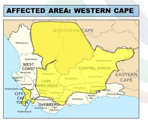
Despite our week of joyfully warm weather and clear skies, a yellow level 2 warning has been issued for the Western Cape for the upcoming weekend.
Powerful winds and a cold front are on the cards from Saturday according to the South African Weather Service.
“Ahead of an approaching cold front, strong north-westerly winds with speeds between 50-60km/h, gusting up to 80km\h are expected over southern Namakwa (N.Cape), the Western Cape Winelands, Central Karoo, northern parts of the Garden Route districts, including the City of Cape Town municipality (W.Cape) on Saturday morning, 2 July 2022, moderating by the evening,” the SAWS warned.
“These strong winds are likely to cause damage in these areas,” it added.
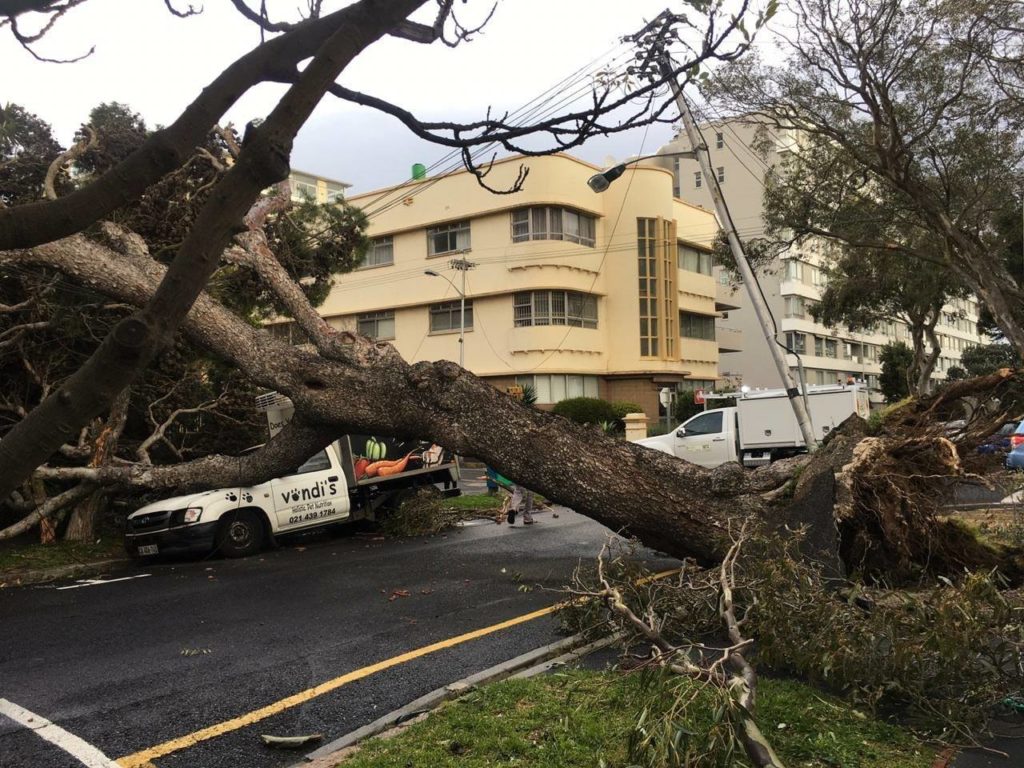
Of impacts, the SAWS warns of structural damages to formal as well as informal settlements as a possibility. It also alluded to fallen trees affecting transport routes, as well as properties. Localised power and communication interruption may also be at stake.
“Some transport routes and travel services, including high-sided vehicles, could be affected due to crosswind on exposed high-level roads,” it added.
There is also the possibility of fire implications, such as runaway fires that are also to be taken note of.

The news comes amidst loadshedding woes, which will see many South Africans battling the cold without electricity as Stage 6’s reign persists.
Also read:
5am to midnight on Friday will see loadshedding’s reign – workers blamed
Picture: Cape {town} Etc Gallery


