


After last week’s welcome arrival of rain – and then snow – another cold front is currently making its way to Cape Town and should be with us by Monday morning, bringing along with it several millimeters of rain and snowfall on most of the high peaks by Tuesday morning.
The prediction for the incoming weather system reveals that on its back lies another front, which will be with us by late Wednesday, however, less rain is expected from the latter.
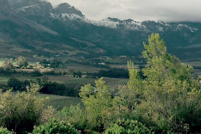
Tuesday’s early snowfall is expected to range as far south as the higher Stellenbosch peaks, from Paarl and Worcester through to Ceres, Tulbagh and finally heading up north toward Citrusdal.
Temperatures are subtly increasing as we enter spring, could this be one of the last snowfalls in the province for 2017? Let’s hope for a repeat of 2008 – less than a decade ago – where unusually heavy snowfall fell in early October, presenting us with white, snow-capped peaks as close as Somerset West, with blizzard-like conditions experienced that afternoon outside Ceres.
Photography Sarah Naegeli du Plessis / Snow Report SA
