


The Western Cape and other areas along the country’s east coast should prepare for more cold weather that will roll in today and tomorrow.
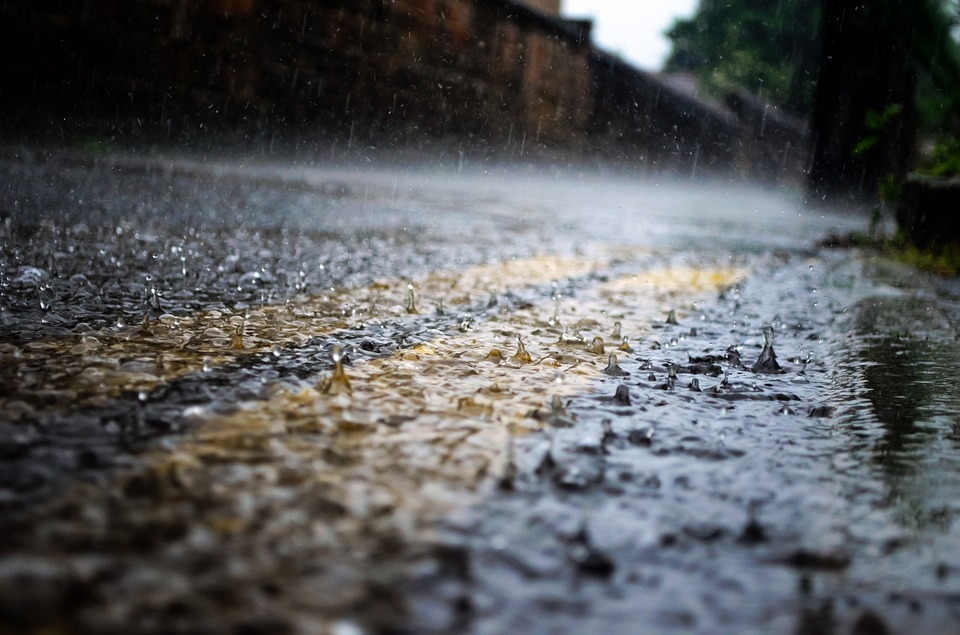
A Yellow Level 2 warning has been issued as two cold fronts are expected to make landfall in the Western Cape Province, as reported by IOL. A wet and cold 15 to 20mm of rainfall is expected over the southwestern parts of the Western Cape and Little Karoo.
“The bulk of the rain is expected over the eastern parts of the South Coast from the afternoon into Friday morning where rainfall accumulations can reach 20 to 40mm over 36 hours,” the South African Weather Services (SAWS) said.
The unpleasantly cold and wet weather will likely affect traffic and cause delays in major roads across the Cape metro on Thursday morning and moving over the Garden Route on Friday. The SAWS warned that roads could be slippery and visibility reduced. The heavy rainfall could also lead to localised flooding in areas that are more at risk, such as informal settlements and areas that are still recovering from the previous floods that occured after heavy rainfall.
Meanwhile, the Eastern Cape has been issued their own Yellow Level 1 warning as snow is predicted to fall in the province.
“The first cut-off low is expected to pass over the eastern parts of the Eastern Cape resulting in a chance of showers and thunderstorms as it moves through. The upper-air system is expected to significantly drop to freezing levels, therefore resulting in a chance of snowfall over the north-eastern high ground,” SAWS announced.
The Storms River and Gqeberha can also expect more rain. The SAWS warns that “these systems will be supported by cut-off lows over the western interior of the country.”
Also read:
Picture: Cape {town} Etc gallery
