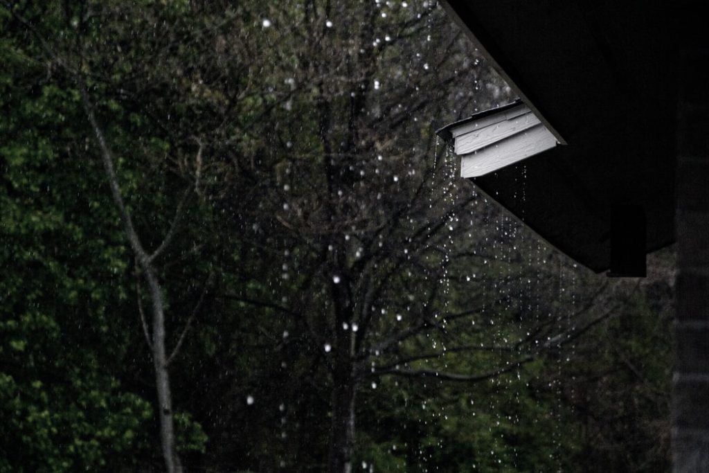
A cold front is expected to pass over the Western Cape on Tuesday, so grab your umbrellas and raincoats because we’re in for some cold and wet weather.
According to the South African Weather Service (SAWS), some areas can expect strong winds of 50km/h to 70km/h, and gusting winds of 75km/h to 85km/h.
Ahead of the cold front strong (50-70km/h) & gusting (75-85km/h) north-westerly interior winds are expected over the southern high ground of Namakwa District (Northern Cape) and eastern parts of Cape Winelands and Central Karoo Districts (Western Cape) on Tuesday (27 July 2021).
— SA Weather Service (@SAWeatherServic) July 26, 2021
SAWS also issued a yellow Level 1 warning for the interior of the Western Cape and southern parts of the Northern Cape.
The cold front is expected to make landfall after South Africa recently recorded its coldest night of the year in some places over the interior which also saw certain areas experiencing snow.
⚠️It will be the coldest night of the year in some places over the interior of SA tonight into tomorrow Friday morning (23 July 2021). Small stock farmers please be advised. #ColdFront pic.twitter.com/fQu2CxQqcp
— SA Weather Service (@SAWeatherServic) July 22, 2021
SAWS further warned that “localised damage to formal and informal settlements is possible.”
Meanwhile, the total capacity of dams supplying the Cape Town metro increased by 1,9% in the last week, from 95,6% the previous week to 97,5%, as the City of Cape Town reports.
The total capacity of dams supplying the Cape Town metro increased by 1,9% in the last week, from 95,6% the previous week to 97,5%.
Read more: https://t.co/cDf4O59F0J#ThinkWaterCT pic.twitter.com/UGWkNjS8XN
— City of Cape Town (@CityofCT) July 27, 2021
Picture: Unsplash