The Western Cape has been hit by a few back-to-back cold fronts. This means low temperatures, biting winds and more days of rain are expected. At the weekend, areas as far as Swellendam received a dusting of snow. Some parts of the province are in for another round of snow on Wednesday.
According to Snow-Forecast.com, the Matroosberg Nature Reserve is due to welcome 1.6cm of fresh snow on Wednesday, September 2. This is predicted to take place after 2pm.
“The snow forecast for Matroosberg is moderate rain (total 10.0mm) heaviest on Tuesday night [September 1], then becoming colder with a dusting of snow on Wednesday afternoon. Freeze-thaw conditions can be expected, with a maximum 14°C on Thursday night [September 3], minimum 0°C on Tuesday morning. Winds will be decreasing, with severe gales from the north-west on Wednesday morning, light winds from the north-west by Thursday morning,” read the post.
The weather over the coming four to six days will include mostly dry conditions, with a maximum of 11°C on Friday morning [September 4], and a minimum of 1°C in the evening. Winds are also expected to decrease, with fresh winds from the north-west on Friday afternoon, and a calm, still night for the evening.
Helga du Plessis sent us these amazing pictures of Verlatenkloof Pass just outside of Sutherland in the Northern Cape. pic.twitter.com/pE0ZzZTS1Y
— Storm Report SA (@StormReportSA1) August 30, 2020
Footage sent in by Alex de Kock of snow at Elandskloof pass close to Villiersdorp in the Western Cape. pic.twitter.com/AWbhwDCmmk
— Storm Report SA (@StormReportSA1) August 29, 2020
Nog dik wolke aan die kom ☁️ ? Mouille_Point
?Ros Silke@maroelamedia @AnnetteBotha_WX pic.twitter.com/3YSyQhoBZl— ReenvalSA (@ReenvalSA) August 31, 2020
Overnight #snow in Beaufort Wes.?Karen Southey pic.twitter.com/OwSkWq29ws
— ReenvalSA (@ReenvalSA) August 30, 2020
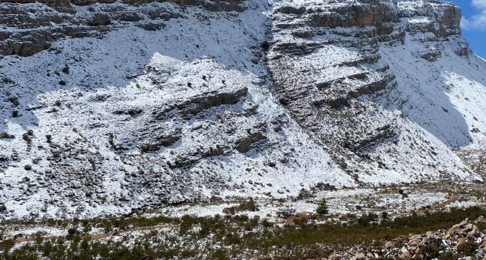
Long wet, cold day, but filled with the most beautiful people. Everybody happy to be here and we happy to have them….
Posted by Matroosberg Reserve on Sunday, August 30, 2020
Picture: Matroosberg Nature Reserve/Facebook