


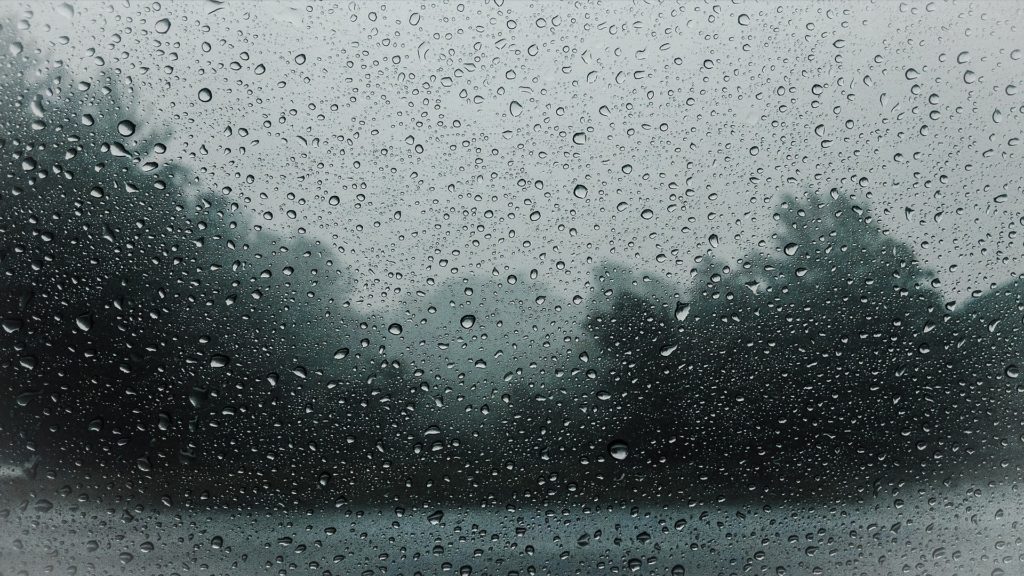
As autumn tightens its grip on South Africa, citizens can expect to see more rainy weather on the forecast, especially over Easter weekend.
South African Weather Service has warned that adverse weather conditions are expected across large parts of the Western Cape starting late this evening [April 11] and lasting till tomorrow morning [April 12].
Members of the public are advised that heavy rain is expected in the following areas:
– The City of Cape Town,
– Drakenstein,
– Stellenbosch,
– Theewaterskloof
– Overstrand Municipalities.
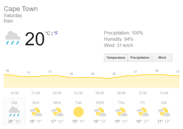
Saturday [11 April] saw daytime highs of 20°C, with a 100% chance for storms expected to hit during the evening. Sunday [12 April] temperatures are expected to drop even more, reaching a maximum of 19°C and lows of 11°C.
As for Monday, temperatures will reach a high of 18°C with a low of 13°C.
“The public and small stock farmers are advised that the heavy rain may lead to localised flooding. In addition, gale force north-westerly winds (65 to 75km/h) are expected between Table Bay and Cape Agulhas early tomorrow morning (12/04/2020) moderating from late morning. While strong interior winds (55-62km/h) are expected over the Breede Valley and the Central Karoo tomorrow,” said Minister of Local Government, Environmental Affairs and Development Planning, Anton Bredell.
Bredell states that relevant services have been prepped in case of associated risks.
“Some of the associated risks during bad weather like this includes mudslides and informal settlement fires. Provincial as well as Municipal Disaster Management Centres are already activated for the ongoing COVID-19 situation and will remain fully operational, ready to assist in the event of a problem.”
In case of emergency, relevant numbers to call are:
- Emergency: 112
- Cape Winelands Municipality: 021 888 5837
- Eden District: 044 805 5071
- Central Karoo: 023 414 2603
- West Coast: 022 433 8700
- Overberg: 028 271 8111
- City of Cape Town: 107 landline or 021 480 7700
Image: Pixabay
