


The South African Weather Service (SAWS) has issued a Yellow Level 1 weather warning for strong to near-gale force winds and high waves expected in parts of the Western Cape tomorrow.
The coastline between Table Bay and Plettenberg Bay will be affected by strong winds and high waves.
The weather warning is valid for the entire day from midnight to 11:59pm on Thursday, 20 April.
At first, strong north to north-westerly winds travelling between 50 and 55kph are forecasted between Table Bay and Cape Agulhas.
Otherwise, predominantly west to south-westerly winds reaching near-gale force speeds of 50 to 60kph are expected between Cape Point and Plettenberg Bay.
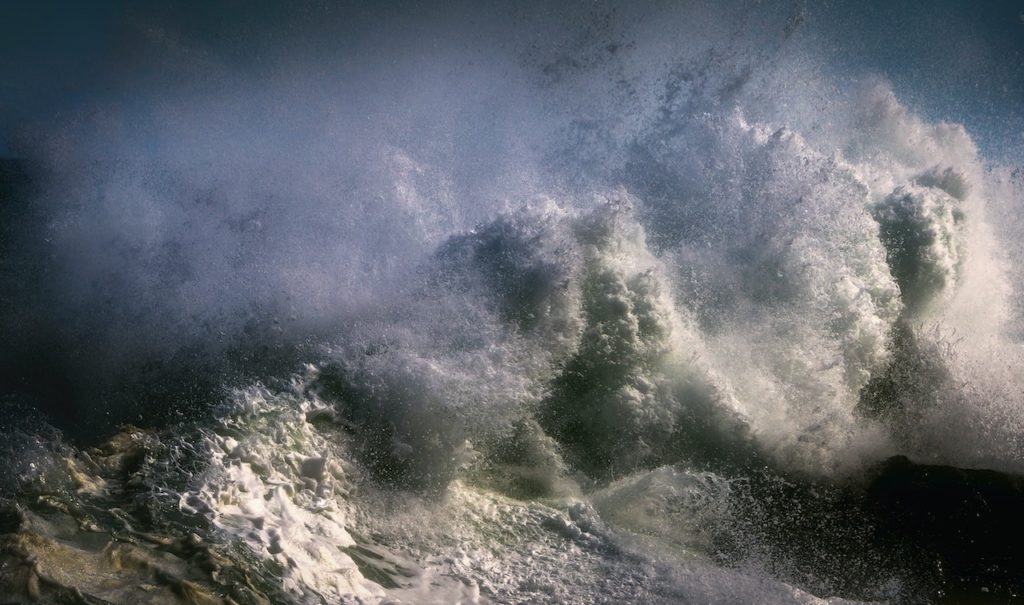
In addition to the strong winds, rough and choppy seas are forecasted as waves reaching heights between 3.5 and 4.5 metres (south to south-westerly swell) due to quick, successively steep waves.
The wind and waves will moderate and subside from the west from Thursday evening, according to SAWS.
The potential weather impacts of the wind and waves include:
- Challenges in sea navigation
- Small watercraft, such as kayaks, could be in danger of flooding or capsizing in these areas
- Temporary disruptions to beachfront activities, small harbours and ports for a short period of time.
Take a look:
Warning: Yellow level 1 warning for damaging winds and waves between Table Bay and Plettenberg Bay for tomorrow 20 April 2023. pic.twitter.com/dgiY7ivy8t
— SA Weather Service (@SAWeatherServic) April 19, 2023
Also read:
Look: diverse marine wildlife spotted along the De Hoop coastline
Picture: Pexels
