


South Africans have received a cautionary heads-up to prepare for yet another approaching storm system, set to make its presence felt during the upcoming long weekend.
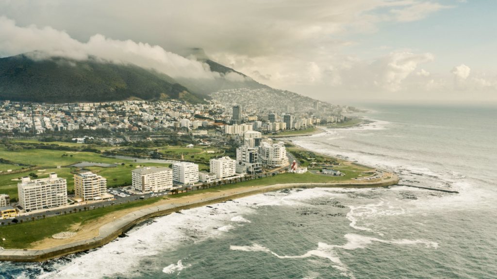
The South African Weather Service (SAWS) has issued a weather advisory for cold and wet conditions affecting the Western and Northern Cape from Sunday through Monday.
Also read: Kommetjie resident witnessed SA Navy submarine tragedy
According to the SAWS, a cut-off low-pressure system is expected to form along South Africa’s western border on Saturday night. The weather service notes that cut-off low-pressure systems are known for causing widespread severe weather events such as flooding, heavy rain and severe thunderstorms.
Expect widespread showers and thunderstorms across western, central and southern South Africa. Saturday is expected to be cloudy, with light rain dampening the Garden Route in the Western Cape.
‘Isolated to scattered thundershowers will develop from the afternoon over the interior, extending from the eastern parts of the Northern Cape to the western Free State and later, the interior of the Eastern Cape,’ the SAWS stated.
As the day progresses, isolated to scattered thundershowers are expected to form, beginning in the afternoon.
This weather pattern is expected to spread from the Northern Cape’s eastern precincts to the western Free State, eventually reaching the interior of the Eastern Cape.
The weather is expected to change dramatically on Sunday, with a significant increase in thundershowers and rainfall across multiple regions, particularly in the Western Cape, Northern Cape, Eastern Cape and Southern Free State. Thunderstorms are possible in the Western Cape, Northern Cape and western reaches of the Eastern Cape, with intense bursts of rainfall that could cause flash flooding.
Cape {town} Etc discount: Looking for things to do in the city at half the price? Let these great offers inspire you and fuel your imagination! Get them here.
Prepare for strong to gale-force winds and raging seas, with waves reaching heights of four to six metres along coastal areas. On both Sunday and Monday, these turbulent conditions are expected to be most pronounced along the Western and Eastern Cape coasts.
In terms of temperature, the SAWS reports that the arrival of the cold front on Sunday will bring chilly weather to the western and southern swaths of the country.
As Monday progresses, the cut-off low-pressure system will gradually traverse the southern coast, heralding widespread and heavy rainfall over the Western and Eastern Cape. Rainfall accumulations of 60 to 100 millimetres are possible in these areas within 24 hours, accompanied by gale-force winds.
Fortunately, the cold front is predicted to vamoose by Tuesday, providing some relief from the wild weather.
Stay safe, Western Cape!
Explore Cape Town and its surroundings with these incredible deals on cars for under R100 000. Find car listings here.
Also read:
City commences Phase 2 of the Muizenberg Huts Refurbishment Project
Picture: Taryn Elliott / Pexels
